
Pittsfield Neighbors by Parcel
A block lookup works best when each source has a narrow job. The city GIS supplies the mapped parcel pattern around a target address. The Assessors record owner and assessment information for a selected parcel. Registry plans and deeds supply the legal trail, while Public View can date work at nearby addresses. Historical directories can add past occupants, but they should not be read as a current household list. Massachusetts voter status is for a named registrant’s own confirmation, not a web search for everyone on a block.
| Source | What it shows about a block | Access |
|---|---|---|
| City GIS parcels | Parcel polygons, MBLs, mapped situs, adjacent lots, and available map layers | City viewer or MassMapper, for reference |
| Pittsfield Assessors | Owner, assessment information, situs, and mailing address for a selected parcel | Online viewer or office request; certified owner information from the Assessors |
| Berkshire Middle plans and deeds | Lot lines, easements, subdivision relationships, and owners over time | Online records or counter; historical books and index routes |
| Public View permits | Work chronology at selected neighboring addresses | Address or parcel search; 1985 forward with some 1984, incomplete archive |
| Historic directories and voting lists | Past occupants or registered names for a street at selected dates | Athenaeum and State Library collections |
| Community organizations | Public contacts, events, civic goals, and published roster names where available | Organization pages and public city resources |
Ownership is not occupancy. A Pittsfield parcel can have a mailing address that belongs to an owner, a trustee, or an office, while the site address is where the property stands. That distinction is vital when comparing adjacent lots.
Pittsfield Block Parcel Method
Use the geometry of the map, not a guessed street-number range. Start with the target in the City of Pittsfield Property Record/Map GIS, zoom until the parcel boundaries and address points are visible, then open only the polygons that touch the target. If the city viewer does not offer a buffer or selection tool, MassMapper has feature-query and draw tools that can support a visual check. GIS is a reference source, so recorded plans and deeds remain the confirmation for legal adjacency.
The MassMapper interactive map describes its layer, query, drawing, print, and download tools for this statewide parcel fallback.
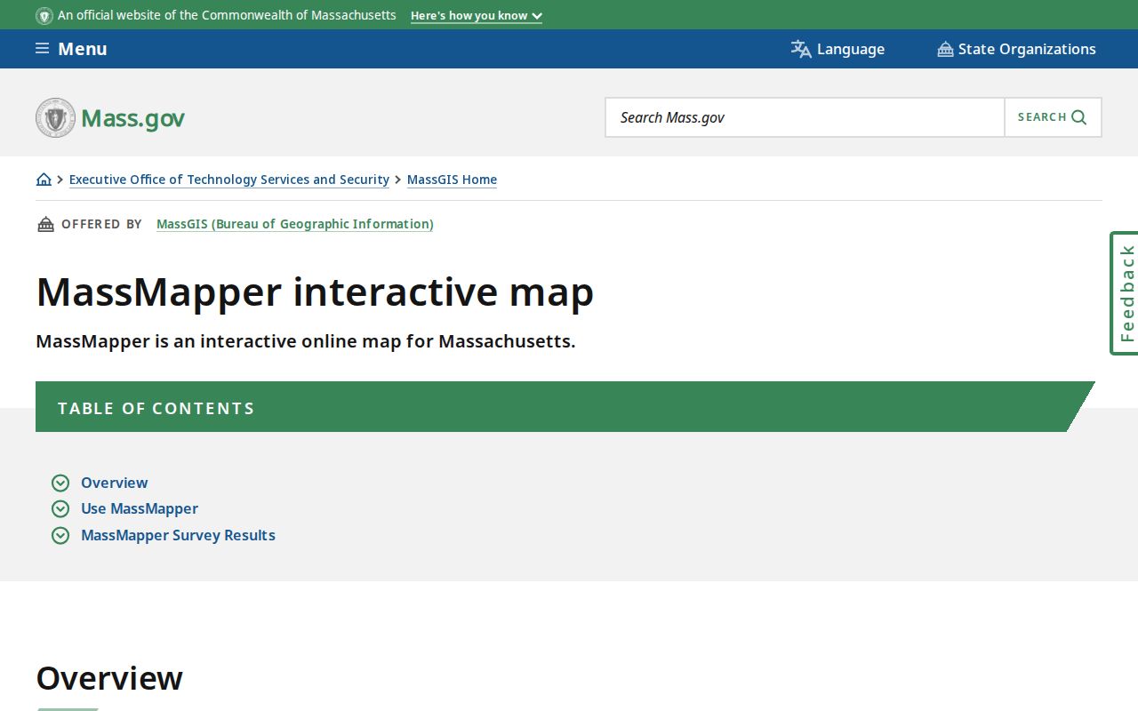
The map tools help a researcher document which lots touch the target before any name or owner field is copied into a working note.
- Find the target street address or MBL in the city map and confirm the mapped situs.
- Zoom to the parcel edges, then click the target and each touching polygon rather than assuming the next number is adjacent.
- Record the MBL and available owner or assessment link for each selected parcel.
- Check the corresponding parcel card for situs and tax-mail fields, keeping those fields separate.
- Confirm an uncertain boundary with a Berkshire Middle District Registry of Deeds plan or deed legal description.
For a whole named street rather than the immediate block, use the Pittsfield street directory for the broader address-record workflow.
Pittsfield Neighbor Parcel Records
An MBL, or map-block-lot identifier, is the most stable starting label when a house number changes, a street is renamed, or an old map uses another description. Save the MBL before relying on a surname. The Pittsfield Assessors arrange online material by street address, owner name, or MBL. The city’s current map and assessment output are property records, so a named owner should be treated as a documented ownership connection, not proof that all occupants share that name.
The Pittsfield Assessors page links the city’s Online Property Viewer and explains the office’s role in maintaining assessment records.
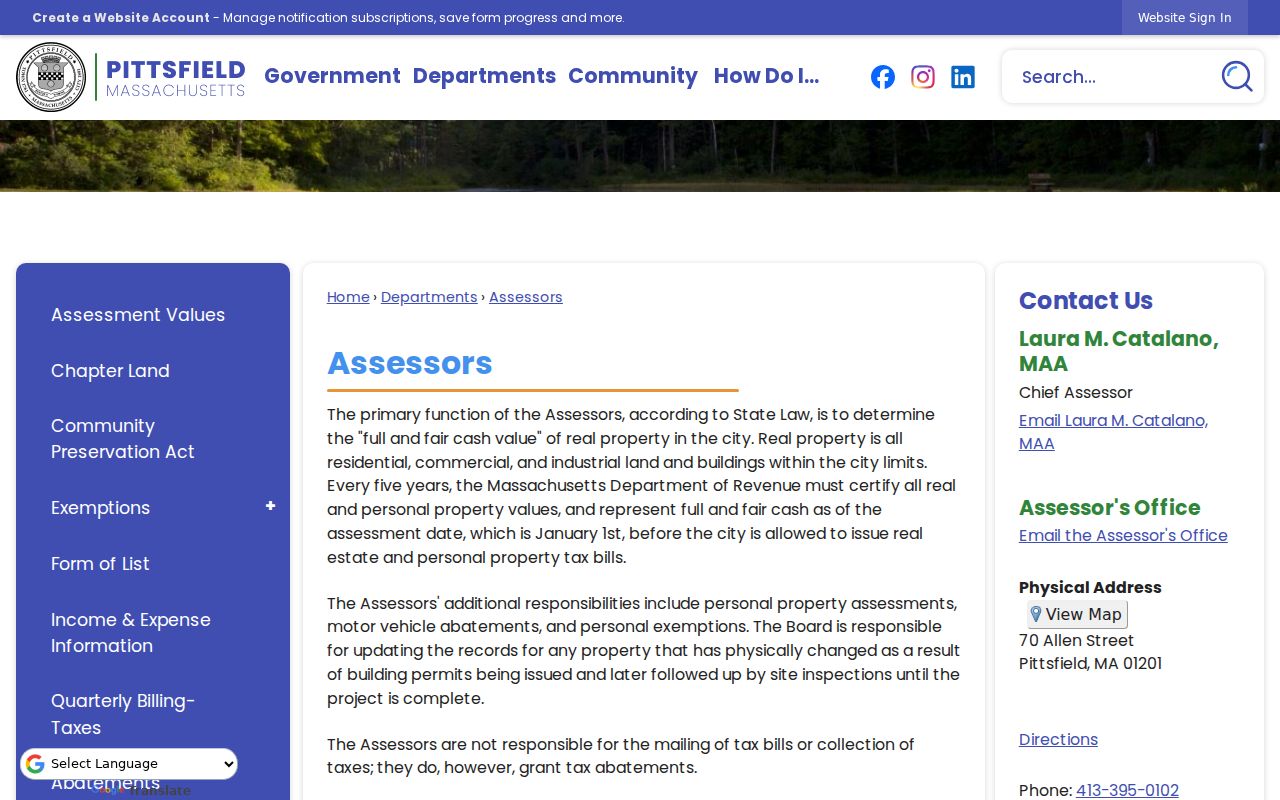
Use the assessor record to anchor a neighbor search to a particular parcel, then compare Registry plans or legal descriptions if the map’s visual edges do not answer the question.
The MassGIS property-tax parcel data page explains the statewide reference dataset that can supplement the city map.
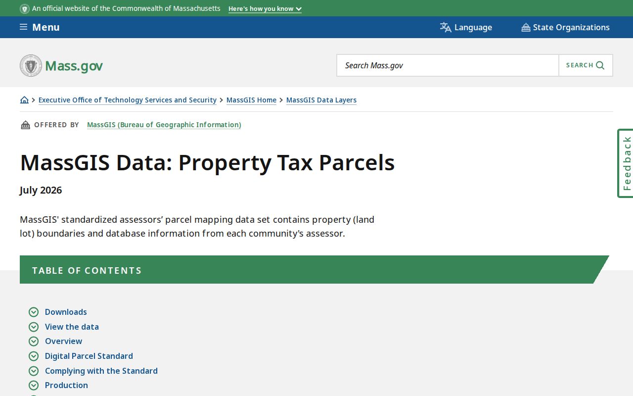
Statewide parcel data can provide map context, but it is not a substitute for the local viewer, a recorded plan, or a title examination.
Pittsfield Neighbor Permit Chronology
Permit dates can show when construction, an addition, a conversion, or another project was recorded at several nearby addresses. Pittsfield Building Inspection Department Public View is keyed by street number and name or parcel ID. Its instructions call for no street suffixes and direction abbreviations such as S, W, or E without periods. The archive reaches back to 1985 and includes some 1984 material, but the city says scanning is ongoing and the archive is not complete.
The Pittsfield Public View permit search is the source for the address-keyed permit route and its search conventions.
Compare permit dates with a parcel and deed chronology to understand a block’s physical changes. A permit applicant is not necessarily the owner or a resident, so the document should not be used to infer a household.
Note: When a needed permit image is absent, ask the actual city custodian about the missing file instead of treating a blank portal result as proof.
Pittsfield Neighbors and Voter Limits
Massachusetts has a state tool for a named registrant’s own status check. It requires first name, last name, date of birth, and ZIP code, and it can return a status match or state that registration information was not found. It does not provide a public street-by-street or block-by-block online list. The City Clerk and Registrar of Voters administer local registration, annual city census, elections, and registrar records, while statewide access rules remain separate.
The Massachusetts G.L. c.51 index identifies the statutory street-list, inspection, inactive-voter, confidential-registration, and online-verification categories that shape this limited access.
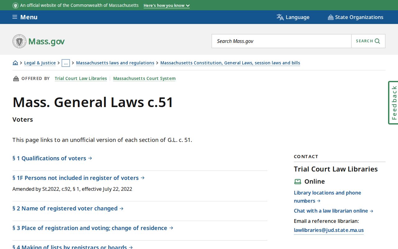
G.L. c.51 §47C limits central-registry name-and-address disclosure, and confidential registrations are protected. Historical street lists and voting lists can be consulted through the documented library and election channels, but they are not a way to recreate a modern roster.
Pittsfield Community Neighbor Contacts
Public neighborhood groups supply contact and civic context, not a list of households. The inspected Westside and Morningside pages did not publish member directories. Their public contact routes, planning material, and local goals can still help someone locate the right community conversation or preserve a neighborhood-history lead. Treat a public group contact as an invitation to connect with the organization, not as evidence that a person lives at an address.
Residents of Westside
Westside neighborhood association with a public identity and contact route. No member directory was located.
Its public contact route is available through the association’s official information.
Morningside Association
Public contact, map, plan, and civic-goal information. Its page cites 1,051 structures at least 50 years old and two local landmarks.
Its public contact route is available through the association’s official information.
Boards and Commissions
Citywide public bodies with published rosters and meetings, useful for civic context rather than a neighborhood household directory.
The Residents of Westside public page is the source for its public group identity and contact route.
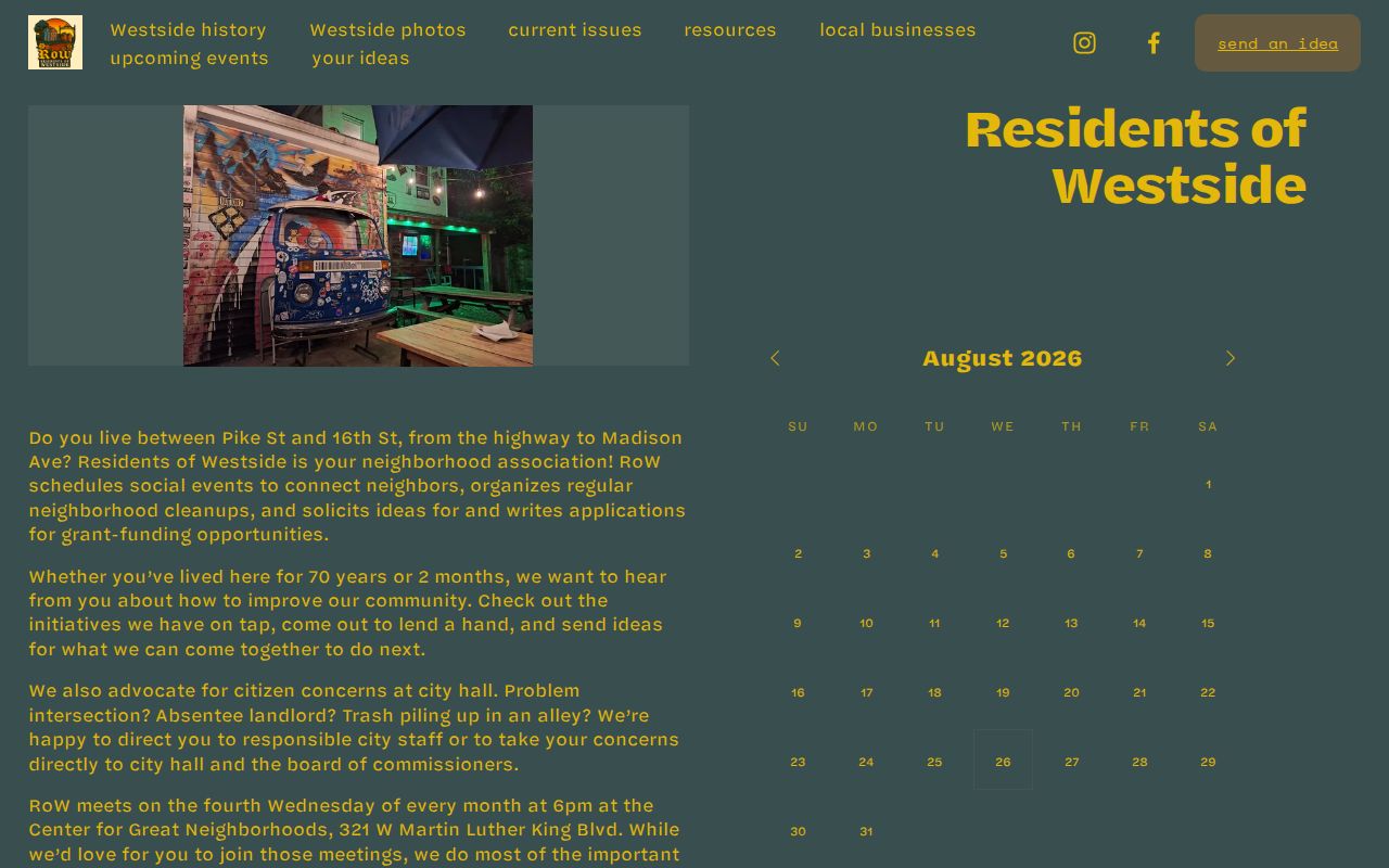
The public Westside information offers a community layer around a block without turning association contact information into a resident list.
The Morningside Neighborhood Association contact page supplies its public contact and planning route.
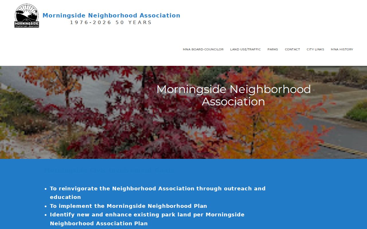
Morningside’s documented older-building count makes permits, maps, and historical directories especially useful for neighborhood context, while the association itself does not publish a member roster.
Pittsfield Neighborhood Watch Contacts
Pittsfield’s Neighborhood Watch program is an official route for organizing neighbors around a phone-tree and police partnership. The city describes a group-forming process that starts by recruiting nearby neighbors and working through the Mayor, Police, or a city councilor. The program publishes no member roster. That is appropriate because the public purpose is community communication and safety, not the creation of a directory of private households.
The Pittsfield Neighborhood Watch program lists the formation approach and public contact options.
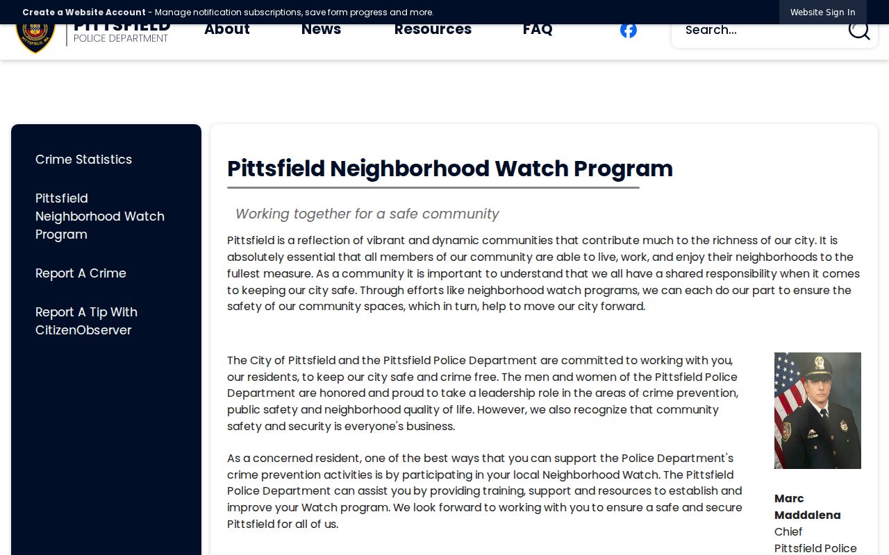
Use the city channel to ask about program participation or training. Do not infer who belongs to a watch group from a parcel map, a nearby address, or a public contact page.
Pittsfield Historical Block Neighbors
Earlier blocks need historical sources rather than modern map assumptions. The State Library has Pittsfield city directories from 1868 through selected 1975 volumes and selected voting-list holdings from 1923, selected 1939-1959 years, plus 1978, 1980, and 1989. The Berkshire Athenaeum adds directories, atlases, yearbooks, newspapers, BFHA indexes, and microfilm. Use the printed address, the source date, and the abbreviation key because directory entries may use initials, widow notation, shortened streets, or an older place label.
A street-name change can also break a simple block search. The Pittsfield Historical Society street-history page records a 2007 E911 reorganization that renamed one route Mount Road.
Search both the old and current street names, then use MBLs, deed legal descriptions, and maps to test whether historic neighbors belong to the same present-day block.
Pittsfield Neighbor Tools Compared
Official records and commercial neighbor tools produce very different kinds of results. The official path preserves the source, date, and scope of a parcel, permit, recorded plan, or community contact. Commercial tools may combine public records, licensed data, marketing files, and user-submitted material. Such compilations can be stale, conflated, or wrong. A useful local check returns to the named custodian instead of treating a compiled result as final.
| Record approach | Strength | Limit to remember |
|---|---|---|
| Official parcel, deed, plan, or permit record | Shows a specific documented property or transaction relationship. | May not identify an occupant, and map data is not a legal survey. |
| Official community contact | Connects a reader with a neighborhood group or public program. | Does not establish membership or residence at a nearby parcel. |
| Commercial neighbor tool | May provide a broad lead to test. | Can combine stale or mismatched data and should be verified with the original custodian. |
For a record that is not online, a focused request under the Massachusetts Public Records Law, G.L. c.66 §10, goes to the actual custodian. The usual response period is generally 10 business days, subject to the law’s rules and exemptions.
Pittsfield Neighbor Privacy Limits
Several facts about a block are not public. Assessor ownership records do not list every renter, family member, or current non-owner occupant. Utility customer data and ordinary DMV address data are not public sources. Address Confidentiality Program participants and confidential voters have protections that can suppress or substitute an address, while sealed or impounded court matters stay outside routine public access. A gap in a record can reflect privacy rules, not a failure to search hard enough.
The Massachusetts Address Confidentiality Program explains the substitute-address protection available to eligible participants. When a record may be restricted, ask the named custodian about the lawful access route instead of attempting to reconstruct private household information.