
Trace a Pittsfield Street Directory by Address
For a Pittsfield street directory search, take one parcel at a time. The City Assessors and map viewer supply the present parcel identity. Berkshire Middle Registry of Deeds supplies the ownership trail. Permits and older household sources add dates and people, but they do not turn an owner record into a complete list of occupants. A mailing address can belong to an owner, trust, or agent, while the situs is the physical parcel. Keeping those fields apart prevents a common false match.
- Enter the exact street number and name in the Assessors material. Save the situs address, owner name, and map-block-lot, or MBL, identifier.
- Open the city GIS record or map. Confirm the parcel polygon and note nearby parcels before following a long street segment.
- Use the MBL or legal description in the land-record search to locate the newest recorded deed. Record its book and page, date, grantor, grantee, and prior-deed recital.
- Search the seller as a grantee to locate the seller's purchase, then repeat backward. Check Recorded Land, Registered Land, and older index routes where needed.
- For people who may have lived there in an earlier era, compare printed directories, voting lists, and census schedules at the Berkshire Athenaeum or State Library.
Massachusetts provides an individual voter-status check, not a public web roster for everyone on a road. The check requires first name, last name, date of birth, and ZIP code, and central-registry name-and-address disclosure is limited by G.L. c.51 §47C. Use it only for its stated verification purpose, rather than treating it as a streetwide search tool.
Note: Record the search date beside each result because a current owner, mailing address, and map display can change after the underlying record was created.
Pittsfield Street Directory Records by Address
Address-keyed records answer different questions. The assessor card identifies a present tax parcel. GIS shows its mapped context. A deed links transfer parties and legal land language. Public View can bracket building work. Older directory and census material can supply a household layer, but only for the years and people actually recorded. This Pittsfield address-record table keeps the record types in their proper roles.
| Address record | Custodian | Useful street detail | Access route |
|---|---|---|---|
| Assessor property card | Pittsfield Assessors | Owner, situs and mailing addresses, MBL, assessment characteristics | Online viewer and GIS; certified owner information from the office or by mail |
| GIS parcel map | City GIS / MassGIS | Parcel polygon, mapped address, MBL, adjacent parcels, selectable layers | City Property Record/Map GIS or MassMapper |
| Deed index and image | Berkshire Middle Registry of Deeds | Grantor, grantee, document date, book/page, legal description, plan references | Online search and counter fallback |
| Public View permit file | Pittsfield Building Inspector | Address or parcel, application or permit image, work chronology | Online record, with an incomplete archive |
| Directories and voting lists | Athenaeum / State Library | Printed household or registered-voter evidence for particular years | Reference collections and library databases |
Use the parcel number to hold the chain together when a street name changes or a plan lacks the current number. The City Tax Collector is an additional municipal contact for tax-bill and lien questions, although the research did not locate a full public owner-name tax search. For a missing public record, a precise request to the proper custodian under the Massachusetts Public Records Law should identify the street, parcel, record type, and date range.
Pittsfield Address Search Fields
The city FAQ identifies three ways to organize local assessor material: street address, owner name, and map-block-lot. Begin with the field that is already known, then use the other two to check that the same parcel remains in view. The city distinguishes online material from certified owner information, which can be requested through the Assessors and by mail for $0.50 per parcel.
| Search field | Use in Pittsfield | Result to retain |
|---|---|---|
| Street address | Find the present parcel when the number and road are known. | Situs address and parcel record. |
| Owner name | Check assessor entries connected to a recorded owner. | Matching parcel and mailing address. |
| MBL | Use the map-block-lot identifier when names or street text vary. | Stable parcel key for GIS, deeds, and permits. |
The Pittsfield Assessors page is the official route to the Online Property Viewer and city GIS.
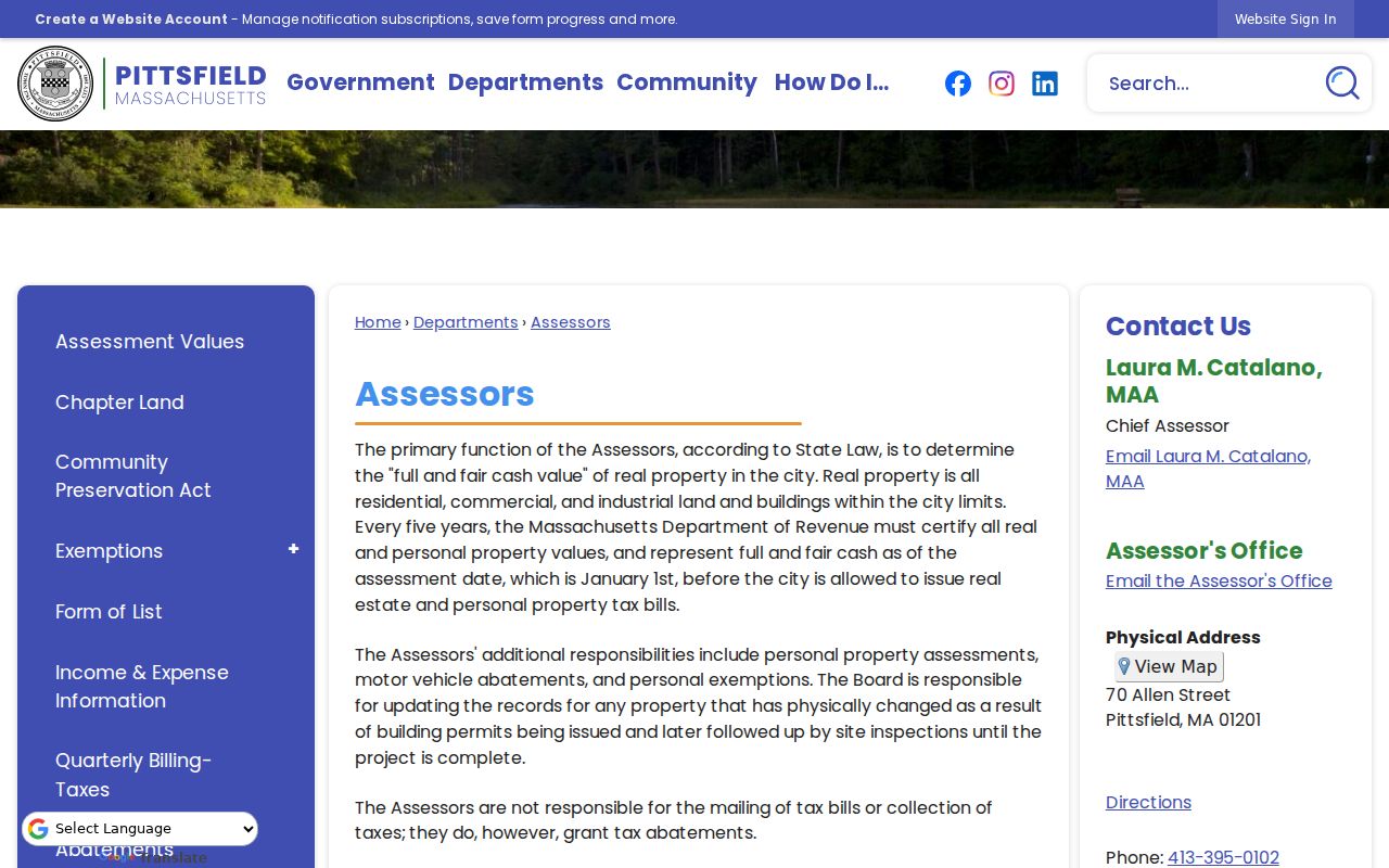
The assessor screen is a starting record for a Pittsfield address search, not proof that every person at the address is publicly identified.
Browse Pittsfield Street Parcels
GIS is useful when the goal is the shape of a street rather than one typed address. In the city viewer, search or click a parcel, zoom along the segment, and inspect the adjacent polygons. MassMapper is the statewide fallback. It supports layer selection, feature queries, drawing, text, saved or printed PDFs, and downloads. Parcels, base streets, zoning, floodplains, districts, and other MassGIS layers can add context without replacing a deed or survey.
A parcel edge on the map is a research lead. The city warns that map material is for reference and not a legal document, so boundary or title questions belong with recorded deeds, surveys, and Registry plans. Copy the MBL before changing the map view. It is often more reliable than trying multiple spellings of a road.
The MassMapper interactive map shows the statewide tool available beside Pittsfield's own property map.
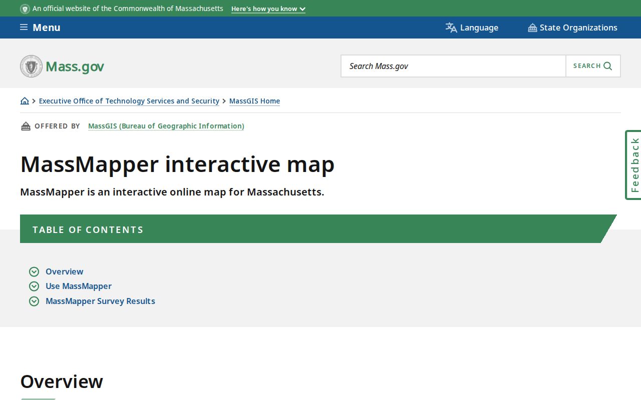
Map layers help place a Pittsfield address among parcels and streets, while the parcel record and deed image remain the evidence for ownership details.
Pittsfield Address Permit Clues
Public View adds a time layer to a Pittsfield address. The Building Inspection Department's public material reaches back to 1985 and includes some 1984 records, but the city says scanning is ongoing and the archive is not complete. An application or permit may help bracket construction, an addition, conversion, or other work. Its applicant is not necessarily the present owner or an occupant.
For a street query, Public View uses street number and name or a parcel ID. The city instructs searchers to omit suffixes and to use S, W, or E abbreviations without periods. Try the exact address first, then the parcel key if an older street expression does not return a result. Request a missing file from the appropriate city custodian rather than assuming it never existed.
Pittsfield Public View permits illustrate the address-based portal used to locate available application and permit records.
Comparing a permit date with a deed and parcel description can date a change to a Pittsfield property without claiming that the permit names every resident.
Pittsfield Address Deed Routes
The Berkshire Middle Registry of Deeds is the ownership-history stop for Pittsfield. A current address or MBL can lead to a property or legal-description search, then to the latest deed. Save the instrument number, book and page, recording date, grantor, grantee, document type, legal description, plan reference, and image link. The seller can then be searched as a grantee to find the earlier acquisition.
Older material needs special care. The portal displays 1641-1969 grantor and grantee index modes, while the Registry's instructions route common-record documents from August 8, 1761 through June 27, 1969 to Unindexed Property. Use Book 1-1024 and the historical menus when a modern search misses a property. Registered land has its own certificate search. Registry staff and counter terminals are the fallback for an old legal description or an uncertain record class.
The Berkshire Middle Registry of Deeds explains the office and its public land-record guidance.
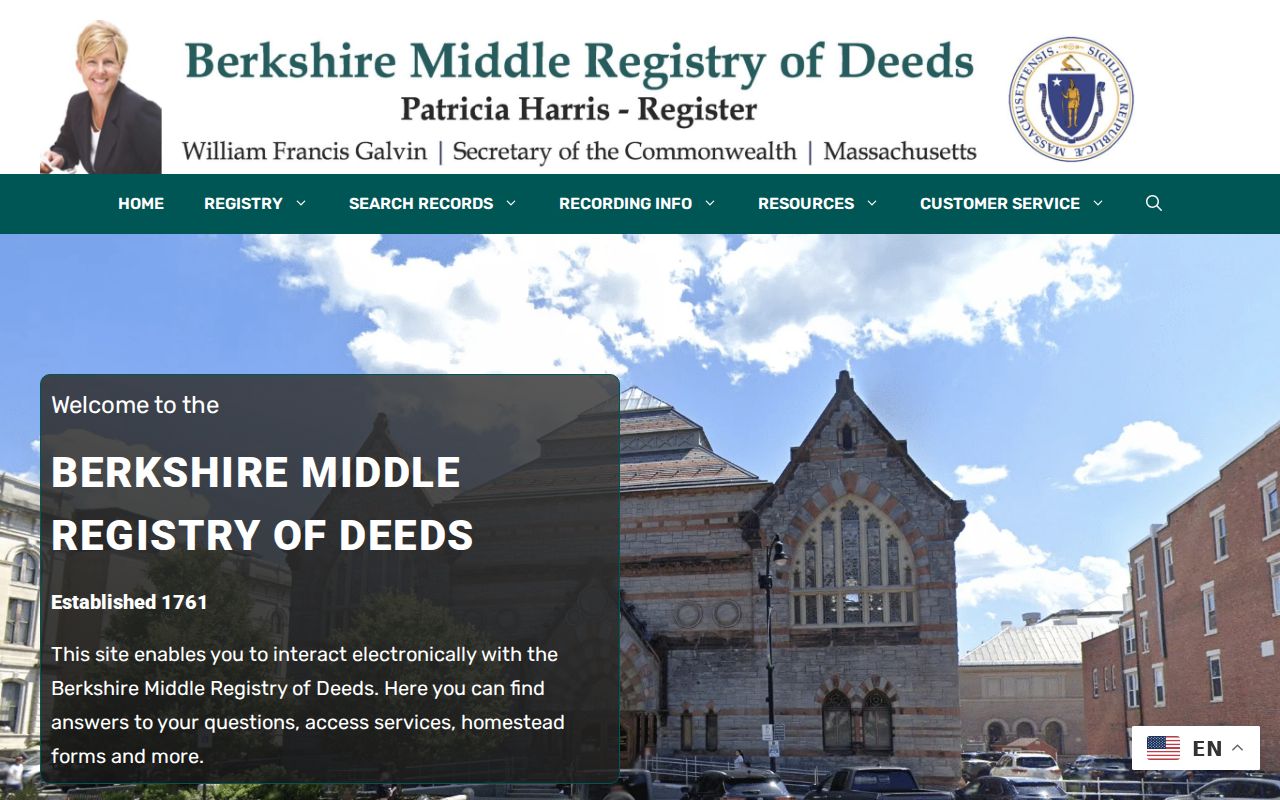
The Registry links names to property transfers, so it supports an owner trail along a street rather than a live resident roster.
Note: Berkshire County government ended in 2000, so Pittsfield land-record questions go to the Commonwealth-run Registry rather than a general county clerk.
Mount Road in Pittsfield Address History
Street text can hide an older record. Pittsfield's code assigns street naming and changes to the City Council, gives Public Works responsibility for an index of streets and alterations, and assigns building numbers through the Commissioner of Public Services and Utilities. Search the old name, the current name, MBL, legal description, and any plan reference before deciding that a parcel lacks a history.
A local street-history source identifies one route renamed Mount Road in 2007 during E911 street reorganization. That change is a practical reason to retain every address form found in a deed or directory. Honorary signs do not replace official names or require a new address.
The Pittsfield Street Views history note records the Mount Road E911 renaming detail.
Keeping both road names beside the parcel key makes a Pittsfield address search more resilient across E911 and historical records.
Pittsfield Historical Street Households
Directories and census schedules fill a different role from the assessor and Registry. State Library holdings include Pittsfield directories from 1868 through selected 1975 volumes, with some house guides organized by address. The 1855 and 1865 Massachusetts state census schedules are arranged by street of visitation. Those sources can place a household at a printed address in a specific period, but an entry remains a snapshot rather than proof of ownership or an exact move date.
Read the directory's abbreviation key and preserve the edition and page image. Initials, spouse or widow notation, abbreviated street names, and OCR errors can make a person appear to vanish. Compare adjacent editions, deeds, and census years. The historical volumes themselves have separate collection details in the Pittsfield Directory Book.
- Parcel
- A defined piece of land in the assessor and mapping system, commonly tracked in Pittsfield with an MBL identifier.
- Situs address
- The physical location of a parcel, distinct from the address used for tax correspondence.
- Plat or plan
- A recorded map that can identify lots, blocks, or street relationships when a modern number is absent.
- Criss-cross directory
- An address or house-guide section that is read from the street toward the listed household, rather than from surname to address.
Pittsfield Street-List Boundaries
Massachusetts separates local street-list access from its individual online voter-status tool. The status tool asks for first name, last name, date of birth, and ZIP code, then returns registration information or a no-match result. It is not a way to browse a road. G.L. c.51 governs inspection and copies of street lists, while G.L. c.51 §47C limits general access to central-registry names and addresses. Confidential registrations have separate protections.
For historical work, the State Library's Pittsfield voting-list holdings cover selected years in 1923, 1939 through 1959, 1978, 1980, and 1989. A dated voting list can support a particular research question, yet it does not identify every household member and should be compared with directories and census material. The Check Your Voter Registration Status service remains limited to the named individual's verification process.
Pittsfield Address Record Limits
A street record cannot identify every person at an address. Public sources do not supply a utility-customer list, DMV addresses, a current household inventory, or all non-owner occupants. Confidential voter registrations and Massachusetts Address Confidentiality Program participants have protections. Sealed or impounded court matters are also outside ordinary public access. An absentee mailing address and a homestead or exemption notation are only assessment clues, not conclusive residence evidence.
Lawful use. Pittsfield address and property records are for lawful personal research, family history, and civic curiosity. Do not use information from them to stalk, harass, or harm another person.
For protected-address questions, the Massachusetts Address Confidentiality Program describes the substitute-address and mail-forwarding protections available to eligible participants.
When a result is absent, return to the parcel and its date before broadening the search. A missing name can reflect an unindexed old book, a directory gap, a protected address, an incomplete permit archive, or a different legal description. The most useful next request names the specific custodian and source: the Assessors for certified owner information, the Registry for a historical land record, the Building Inspector for an unavailable permit file, or the Athenaeum for an older household source. That record-by-record approach keeps a Pittsfield address inquiry accurate.